

Before the crew can take off together on a rescue mission, they complete the comprehensive training program at the AirRescueCollege—the training division of ÖAMTC Air Rescue.
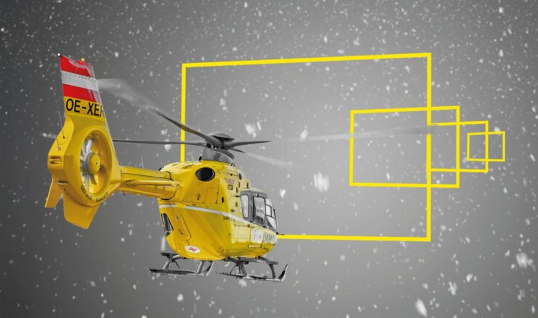
Saving lives is the mission of the ÖAMTC Air Rescue Service—and to that end, the yellow emergency medical helicopters take off more than 20,000 times a year. With the exception of the 24-hour bases Christophorus 2, 14, and 17, these missions usually take place during the day. But even that isn’t always possible: In bad weather, such as fog or snowfall, crews may have to stay on the ground.
The background: By law, helicopters may only be operated under visual flight conditions. If visibility falls below the prescribed minimum, takeoff is prohibited. This regulation is in place for safety reasons, as there is always a risk of encountering obstacles in the low-altitude and sometimes uncontrolled airspace where helicopters operate. If this happens, damage to the aircraft is the least severe consequence; in extreme cases, it could even lead to a crash.
The vision of ÖAMTC Air Rescue is an expansion of its fundamental mission: to save human lives regardless of location, time of day, or weather conditions. In terms of geographical coverage, the network of Christophorus bases—which has long covered all of Austria—speaks for itself. As for the time of day, the first step was taken with the first locations operating 24 hours a day, and everything is in place for a potential expansion.
That leaves the weather—but there’s good news here, too: Technological advances now make it possible to carry out missions even in bad weather. One example is the fog-penetration technique used by Christophorus 11 (Klagenfurt). This is a truly successful method that has already saved numerous lives. There is, however, one limitation: This method can only be used near commercial airports because it relies on their infrastructure.
Together with the air traffic control authority Austro Control, ÖAMTC Air Rescue is therefore working on a solution that does not require ground-based facilities for safe takeoffs, landings, and flights. The most promising method is known as “Point in Space” (PinS) and describes a satellite-based procedure for instrument flight. Simply put: After takeoff under visual flight conditions, pilots—guided by onboard instruments—follow fixed routes on which the helicopter is not endangered by obstacles or other aircraft. The approach ends at a virtual navigation point (the “Point in Space”) near the landing site.
The rest—that is, both the landing itself and the subsequent takeoff—must, for safety reasons, be conducted under visual flight rules. Ultimately, you can think of PinS as a corridor—or like a highway with no traffic: As long as you’re traveling along it, you can be sure there will be no cross traffic or oncoming traffic, no sudden curves, and no unexpected obstacles. During the approach and departure, however, increased attention is required—especially when weather conditions are difficult. The advantage: Such a “helicopter highway” requires no additional infrastructure because, unlike other methods, navigation is handled entirely via satellite.
Become a supporting member and help strengthen air rescue services in Austria for the long term.
You are currently viewing placeholder content from Vimeo. To access the actual content, click the button below. Please note that doing so will result in data being shared with third-party providers.
More InformationYou are currently viewing placeholder content from YouTube. To access the actual content, click the button below. Please note that doing so will result in data being shared with third-party providers.
More InformationYou need to load content from reCAPTCHA to submit the form. Please note that doing so will result in data being shared with third-party providers.
More InformationYou are currently viewing placeholder content from Google Maps. To access the actual content, click the button below. Please note that doing so will result in data being shared with third-party providers.
More InformationYou are currently viewing placeholder content from OpenStreetMap. To access the actual content, click the button below. Please note that doing so will result in data being shared with third-party providers.
More InformationYou are currently viewing placeholder content from Mapbox. To access the actual content, click the button below. Please note that doing so will result in data being shared with third-party providers.
More Information